Polihale
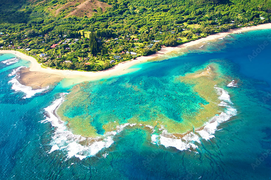
The western end of Kauai can be described as the leeward side of the island, where the mountains generate a more hot and dry environment and the terrain is filled with west Kauai attractions. The westside of Kauai begins at Polihale and travels through the towns of Kekaha, Waimea, and Hanapepe and extends to the west-facing side of Kalaheo. Polihale is named as the place where souls to leap off and make their way to Po, the underworld, which is known to be located offshore, deep beneath the ocean to Hale, where the Polihale literally translates to "realm of Po." Today, the road into this sacred and pristine beach is an old cane haul road that takes about an hour, depending on the type of vehicle. Once you are there, it is a day filled with sunbathing, shell-picking, and a spectacular sunset. Polihale provides white sandy beaches during the day and spectacular star gazing at night.
Historic ponds , loʻi (wet fields), and kalo (taro) in Kekaha were once fed by springs along the base of the cliffs. From Polihale to Kekaha, the Mana plains extended along the coastline where the water used to flow from the valleys. Today, these areas are old plantation camps surrounded by continual agriculture fields. The town of Waimea was a historic seaport community where Captain Cook arrived in 1778 for water and resources to complete his Pacific voyage. Same goes today as the town of Waimea is the last spot for gas and food before heading up the road up to the canyon.
The Waimea Canyon

The upland area of Waimea is also known as Kokeʻe. In the pre-contact period, this area was a gathering place for resources, not areas of permanent habitation or agriculture. There are several trails running from the northern end in the valleys of the Na Pali into Kokeʻe and through the Waimea canyons. The old Hawaiians used a number of overland trails. A good trail overland connects Kalalau with Haʻena. There is a trail from Kokeʻe in the mountains above Kekaha down into Kalalau. From Polihale, travelers could go on foot; with a little swimming, to Miloliʻi; and a trail connected Miloliʻi with Nuʻulolo flats. Another trail connects Miloliʻi with Koke'e. And there was the path (ala) said to have been built by King ʻOla, that led from the Waimea flats up the canyon to Kokeʻe and over the Alakaʻi Swamp, where it was said to have been paved with sticks (kipapa), and down Maunahina ridge into Wainiha on the North by way of Kokeʻe. It can be assumed that the upland forests were once utilized as resource gathering zones for hardwoods, bird feathers, and medicinal plants as well as freshwater resources. Today, most hikers, enjoy the shorter day hikes leading to Waimea's remote waterfalls and scenic canyon viewpoints.
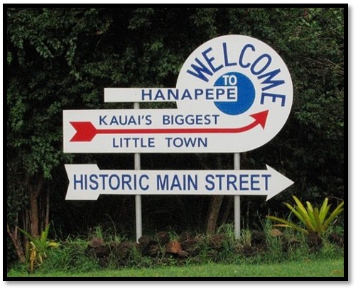
Hanapepe
Hanapepe Valley is a fertile area where many foods such as bananas, sugar cane, and sweet potatoes have been known to grow. Besides growing kalo, from which "poi" is made, Hawaiians developed salt cultivated in saltwater ponds for trade with sailors. Salt trading was the earliest entrepreneurial legacy of Hanapepe. The right to harvest salt, handed down through families, continues today.
Hanapepe was one of the locations visited by the United States Exploring Expedition under Charles Wilkes; the expedition arrived in Hawaii in late September 1840, and the explorers spent some time on the islands. It is one of the few towns on the island that was not created by the sugarcane plantations. Many crops were grown in the area, including banana, sugar cane, taro, and sweet potatoes. By the 1880s, the sugar industry was flourishing in Hawaii, bringing Chinese, Japanese and Filipino immigrants to the islands.
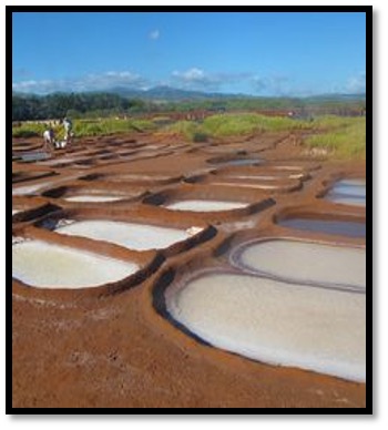
While most stores and towns on Kauai were built by the sugar plantation owners, Hanapepe was largely built by entrepreneurial immigrants. Many workers who retired from the sugar plantations came to Hanapepe to grow taro and rice or begin small farms or businesses to serve the local community. One of the most interesting examples of living history in Hanapepe is the salt ponds. Salt was an important commodity in Hawaii's early post-contact economy. It was traded with visiting ships who needed the salt for food preservation. Salt is still farmed in Hanapepe just as it has been for hundreds of years. Every May, the local families who have stewardship of the ponds begin preparing their ‘pans or ponds for the summer salt gathering season. The pa'akai (sea salt) is created by underground saltwater that is transferred to shallow ponds shaped from the ground and lined with clay. The salt farms of Hanapepe are one of only two major areas in the islands where salt is still harvested in the traditional manner.
Kalaheo
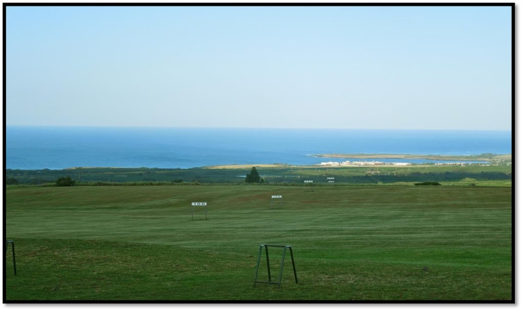
Kalaheo is situated on a high plateau on the southwest coast of Kauai and is mainly an agricultural community with scattered residents bordering the main highway's little shops. The historic Kukuiolono Park is where you can view the entirety of the westside of Kauai. The park is entered from Papalina road above Kalaheo, overlooking the huge Wahiawa Ranch, which led to the foundation of McBryde Sugar Company and now the Kaua'i Coffee Company. Kukuiolono means "the torch of Lono." Lono was the Hawaiian god of agriculture and was reputed to have lived on this hill. By an agreement with the fishermen in the district and the fishermen at sea, a huge torch was kept burning at night. This light could be seen throughout the whole south coast of Kaua'i from Niihau to Koloa. The fishermen relied on this light to navigate the coastline. With its elevated location, this is the best panoramic spot on the Westside.
Let us curate unforgettable experiences that showcase the best of Kauai's natural beauty and unique attractions. Explore PIKO Realty